Philippine Sea,satellite artwork
Bildnummer 11646461
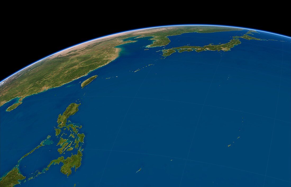
| Philippine Sea. Simulated satellite map of the Philippine Sea in perspective projection,taken from low Earth orbit over the western Pacific Ocean. The map shows the large islands of the Philippines,Taiwan and Japan,as well as the small islands of Palau,Yap,Guam,Iwo Jima and the Mariana Islands in the east,and the Ryukyu Islands,including Okinawa,in the west | |
| Lizenzart: | Lizenzpflichtig |
| Credit: | Science Photo Library / Planetary Visions |
| Bildgröße: | 3697 px × 2376 px |
| Modell-Rechte: | nicht erforderlich |
| Restrictions: | - |
Preise für dieses Bild ab 15 €
Universitäten & Organisationen
(Informationsmaterial Digital, Informationsmaterial Print, Lehrmaterial Digital etc.)
ab 15 €
Redaktionell
(Bücher, Bücher: Sach- und Fachliteratur, Digitale Medien (redaktionell) etc.)
ab 30 €
Werbung
(Anzeigen, Aussenwerbung, Digitale Medien, Fernsehwerbung, Karten, Werbemittel, Zeitschriften etc.)
ab 55 €
Handelsprodukte
(bedruckte Textilie, Kalender, Postkarte, Grußkarte, Verpackung etc.)
ab 75 €
Pauschalpreise
Rechtepakete für die unbeschränkte Bildnutzung in Print oder Online
ab 495 €