DR Congo,satellite image
Bildnummer 11641165
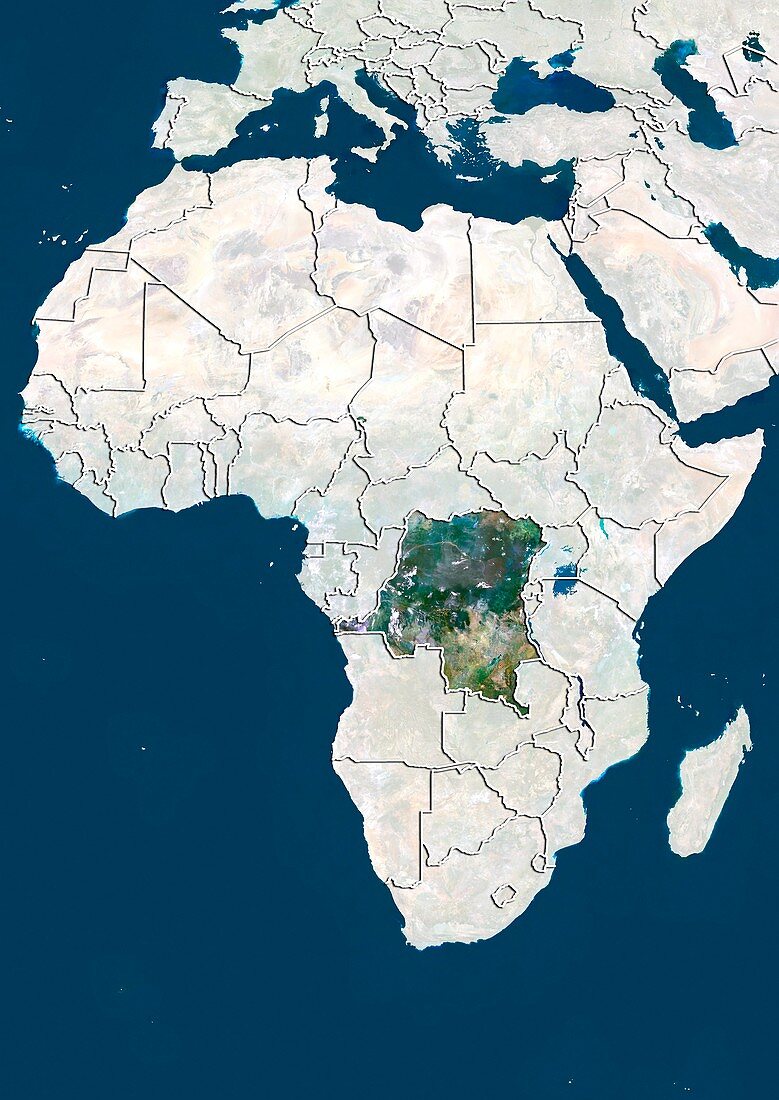
| DR Congo. North is at top. Satellite image of the Democratic Republic of the Congo (DRC) in Central Africa,with the surrounding countries shaded out. DRC borders the Central African Republic and South Sudan to the north; Uganda,Rwanda,and Burundi in the east; Zambia and Angola to the south; the Republic of the Congo,the Angolan exclave of Cabinda,and the Atlantic Ocean (blue,left) to the west. Europe (upper centre),the Mediterranean Sea (blue,upper centre),and the Indian Ocean (blue,right) can also be seen. Image compiled from data acquired by LANDSAT satellites,in 2012 | |
| Lizenzart: | Lizenzpflichtig |
| Credit: | Science Photo Library / Planetobserver |
| Bildgröße: | 3519 px × 4972 px |
| Modell-Rechte: | nicht erforderlich |
| Restrictions: | - |
Preise für dieses Bild ab 15 €
Universitäten & Organisationen
(Informationsmaterial Digital, Informationsmaterial Print, Lehrmaterial Digital etc.)
ab 15 €
Redaktionell
(Bücher, Bücher: Sach- und Fachliteratur, Digitale Medien (redaktionell) etc.)
ab 30 €
Werbung
(Anzeigen, Aussenwerbung, Digitale Medien, Fernsehwerbung, Karten, Werbemittel, Zeitschriften etc.)
ab 55 €
Handelsprodukte
(bedruckte Textilie, Kalender, Postkarte, Grußkarte, Verpackung etc.)
ab 75 €
Pauschalpreise
Rechtepakete für die unbeschränkte Bildnutzung in Print oder Online
ab 495 €
Keywords
- 2012,
- 21. Jahrhundert,
- Afrika,
- Afrikanisch,
- Atlantisch,
- Erdbeobachtung,
- Europa,
- geografisch,
- Geographie,
- Grenze,
- Grenzen,
- Indischer Ozean,
- Karte,
- Kartographie,
- Kontinent,
- Kontinente,
- Land,
- Länder,
- Madagaskar,
- maskiert,
- Mittelmeer,
- Nation,
- Nationen,
- Ozean,
- Ozeane,
- Rand,
- Satellitenbild,
- topografisch,
- Topographie,
- Umwelt,
- Vogelperspektive,
- Von Oben,
- Weltall