Barbados,satellite image
Bildnummer 11623242
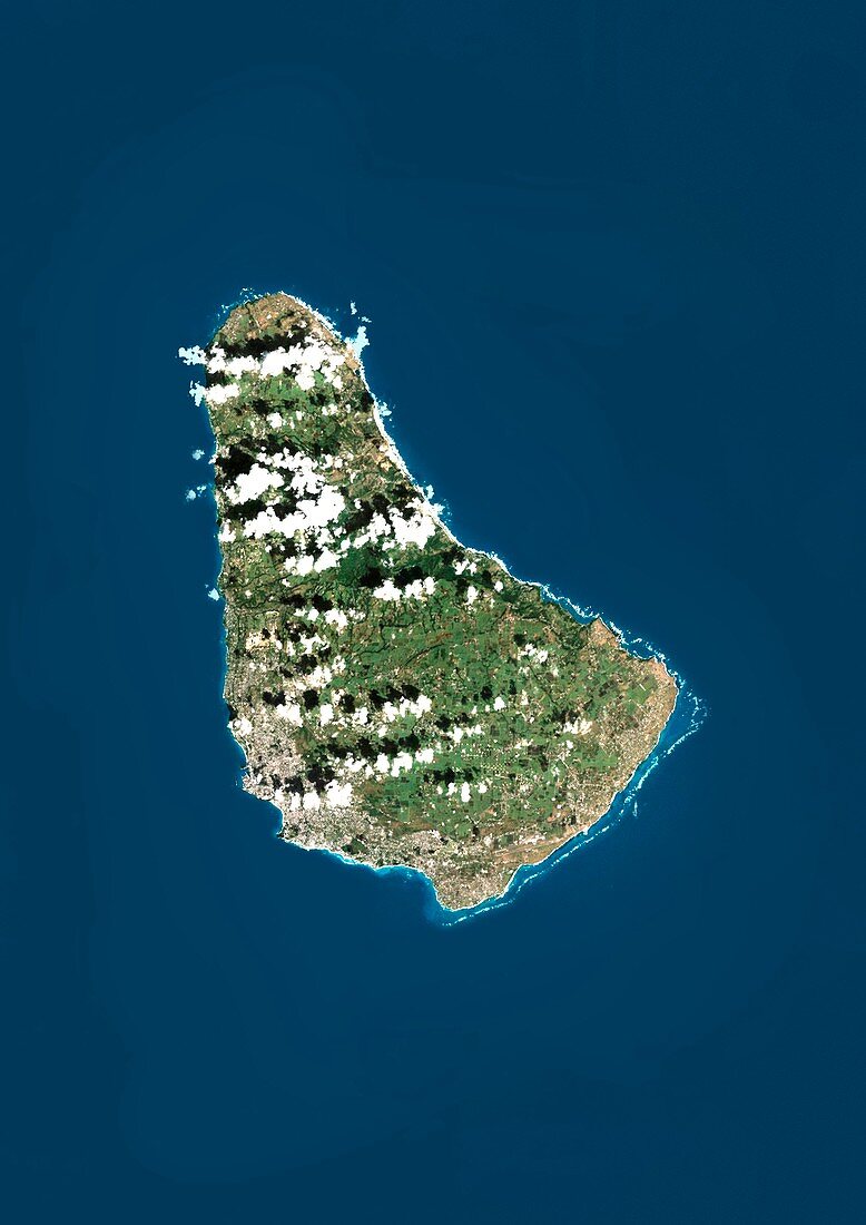
| Barbados,satellite image. North is at top. Natural colour satellite image showing the island nation of Barbados surrounded by the North Atlantic Ocean (blue). This country is one of the Lesser Antilles islands that form the eastern boundary of the Caribbean Sea with the Atlantic Ocean. Image compiled from data acquired by the LANDSAT 5 and 7 satellites,in 2000 | |
| Lizenzart: | Lizenzpflichtig |
| Credit: | Science Photo Library / Planetobserver |
| Bildgröße: | 3482 px × 4920 px |
| Modell-Rechte: | nicht erforderlich |
| Restrictions: | - |
Preise für dieses Bild ab 15 €
Universitäten & Organisationen
(Informationsmaterial Digital, Informationsmaterial Print, Lehrmaterial Digital etc.)
ab 15 €
Redaktionell
(Bücher, Bücher: Sach- und Fachliteratur, Digitale Medien (redaktionell) etc.)
ab 30 €
Werbung
(Anzeigen, Aussenwerbung, Digitale Medien, Fernsehwerbung, Karten, Werbemittel, Zeitschriften etc.)
ab 55 €
Handelsprodukte
(bedruckte Textilie, Kalender, Postkarte, Grußkarte, Verpackung etc.)
ab 75 €
Pauschalpreise
Rechtepakete für die unbeschränkte Bildnutzung in Print oder Online
ab 495 €
Keywords
- 2000,
- 21. Jahrhundert,
- Barbados,
- Erdbeobachtung,
- geografisch,
- Geographie,
- Grenze,
- Grenzen,
- Insel,
- Karibisches Meer,
- Karte,
- Kartographie,
- Land,
- Länder,
- Landsat 7,
- Nation,
- Natur,
- Natürliche Farbe,
- Rand,
- Satellit,
- Satellitenbild,
- Staat,
- topografisch,
- Topographie,
- Umwelt,
- Vogelperspektive,
- Von Oben,
- Wasser,
- Weltall,
- Westindische Inseln