Barbados,satellite image
Bildnummer 11555884
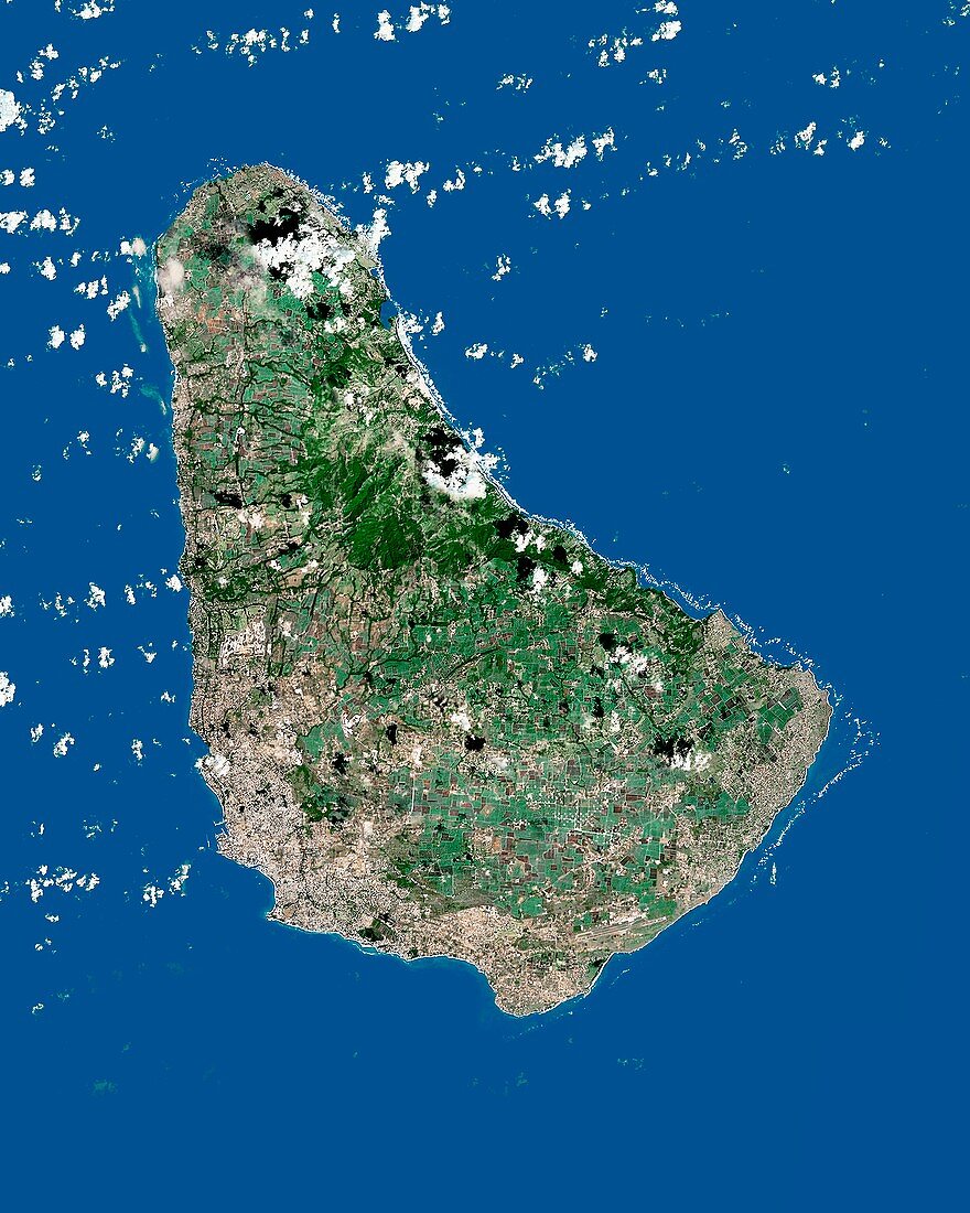
| Barbados. Satellite image of the island of Barbados in the Caribbean Sea. North is at top. Forested areas are dark green,agricultural fields are lighter shades of green and brown,urban areas are grey,clouds are white and inland water is black. Image created using NaturalVue data obtained from the Landsat 7 satellite | |
| Lizenzart: | Lizenzpflichtig |
| Credit: | Science Photo Library / MDA Information Systems |
| Bildgröße: | 3500 px × 4375 px |
| Modell-Rechte: | nicht erforderlich |
| Eigentums-Rechte: | nicht erforderlich |
| Restrictions: | - |
Preise für dieses Bild ab 15 €
Universitäten & Organisationen
(Informationsmaterial Digital, Informationsmaterial Print, Lehrmaterial Digital etc.)
ab 15 €
Redaktionell
(Bücher, Bücher: Sach- und Fachliteratur, Digitale Medien (redaktionell) etc.)
ab 30 €
Werbung
(Anzeigen, Aussenwerbung, Digitale Medien, Fernsehwerbung, Karten, Werbemittel, Zeitschriften etc.)
ab 55 €
Handelsprodukte
(bedruckte Textilie, Kalender, Postkarte, Grußkarte, Verpackung etc.)
ab 75 €
Pauschalpreise
Rechtepakete für die unbeschränkte Bildnutzung in Print oder Online
ab 495 €
Keywords
- Ackerland,
- Atlantischer Ozean,
- Barbados,
- Erdbeobachtung,
- Feld,
- Felder,
- geografisch,
- Geographie,
- Insel,
- Karibisches Meer,
- Küste,
- Küstenlinie,
- Land,
- Landsat 7,
- NASA,
- NaturalVue,
- Natürliche Farbe,
- Nordamerika,
- Satellit,
- Satellitenbild,
- städtisch,
- Urbanisierung,
- Vegetation,
- Wald,
- Wälder,
- Wasser,
- Weltall,
- Wolke,
- Wolken